|
A Day Hike on Mount Monroe New Hampshire's White Mountains |
|---|
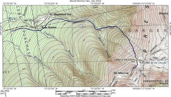
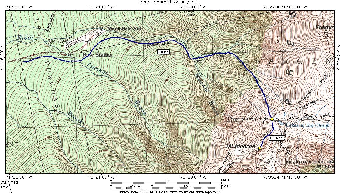
This day hike involved going up the Ammonoosuc Ravine Trail to the Lakes of the Clouds AMC hut, and from there up the Appalacian Trail to the summit of Mount Monroe.
|
The starting point for this hike was the Forest Service parking lot which is about ½ mile east of the parking lot for the Cog Railway at Marshfield Station. The trail starts at the east end of the parking lot.
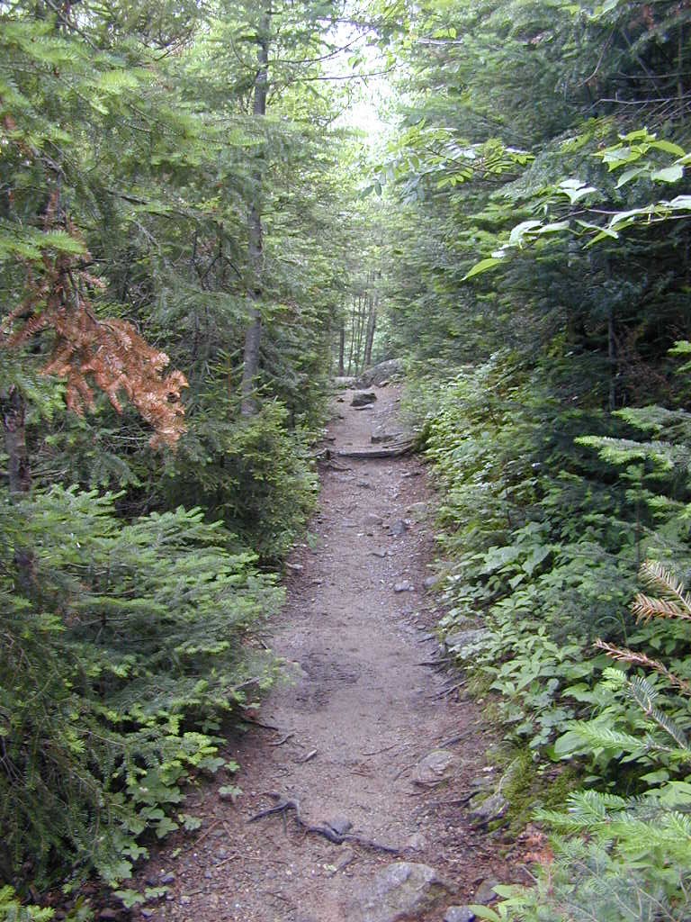
The first 2 miles or so of the trail are pretty easy going as far as elevation gain is concerned and the trail only gains about 1,100 feet over this distance. There are lots of roots and rocks to watch for in the trail, however. The trail heads in a generally eastward direction until it crosses Franklin Brook, about ½ mile from the start of the trail. Beyond that it heads more northeast until it reaches the bank of the Ammonoosuc River after another ¼ mile or so. The trail closely parallels the Ammonoosuc River for the next 1¼ miles until it reaches Gem Pool.
|
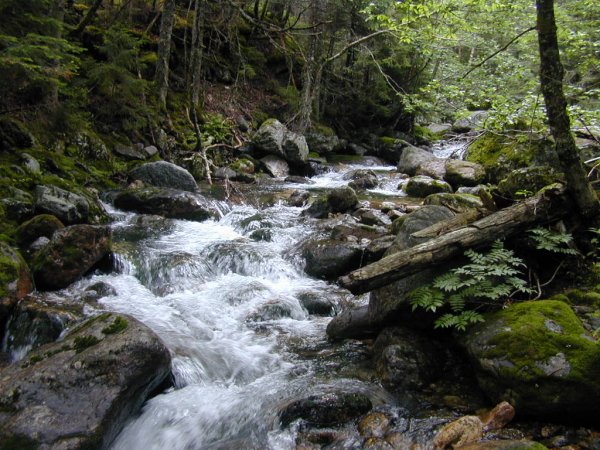
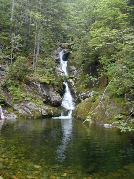
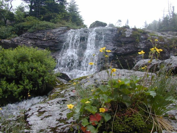
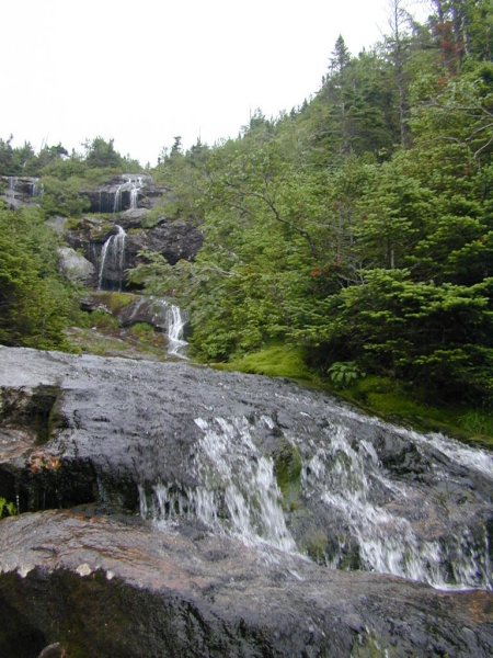
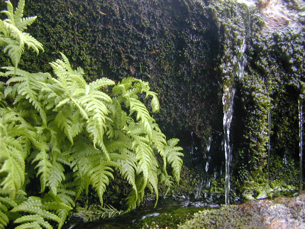
Once you pass Gem Pool the trail starts to climb and in some places it really climbs. There are a couple of steep sections that you will need to be careful on. There are numerous waterfalls along the way and one of the best of these, a double waterfall, requires a short detour from the main trail to see. In the upper half of this section there will also be several stream crossings. The water is not really deep in any of these as the water is simply flowing over polished granite ledges that the trail also happens to cross. These ledges can be very slippery, however, and you just need to watch your footing.
|
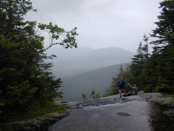
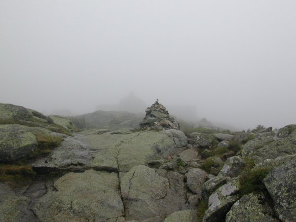
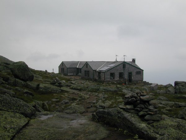
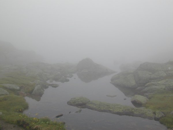
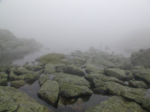
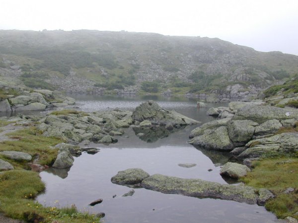
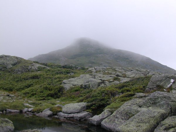
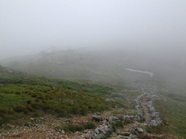
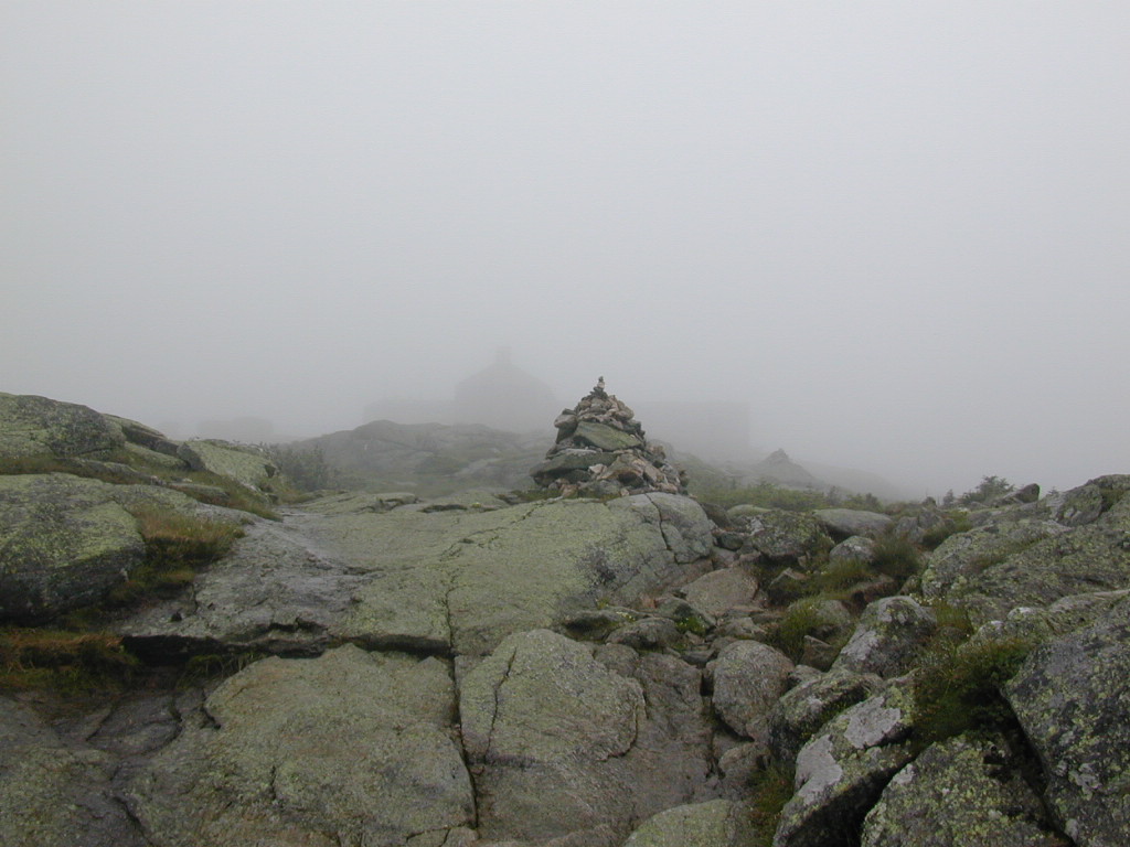
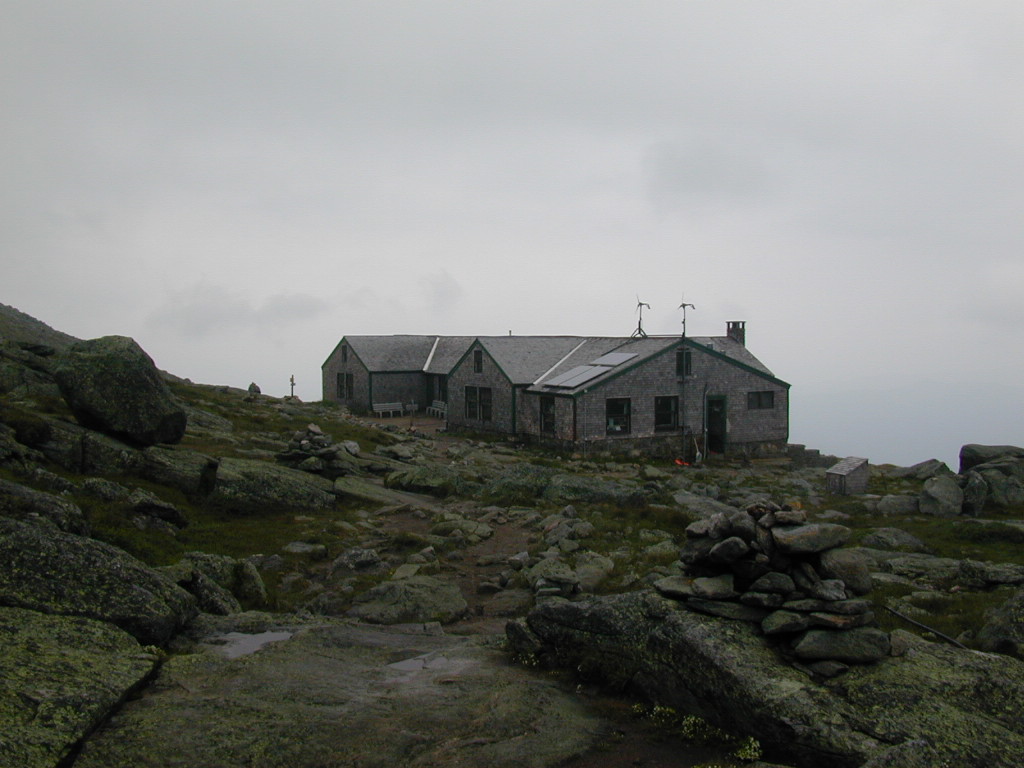
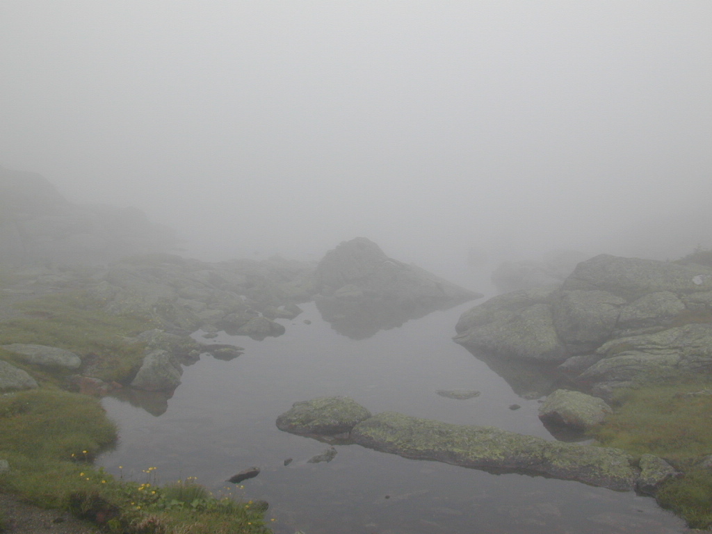
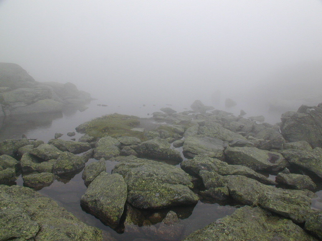
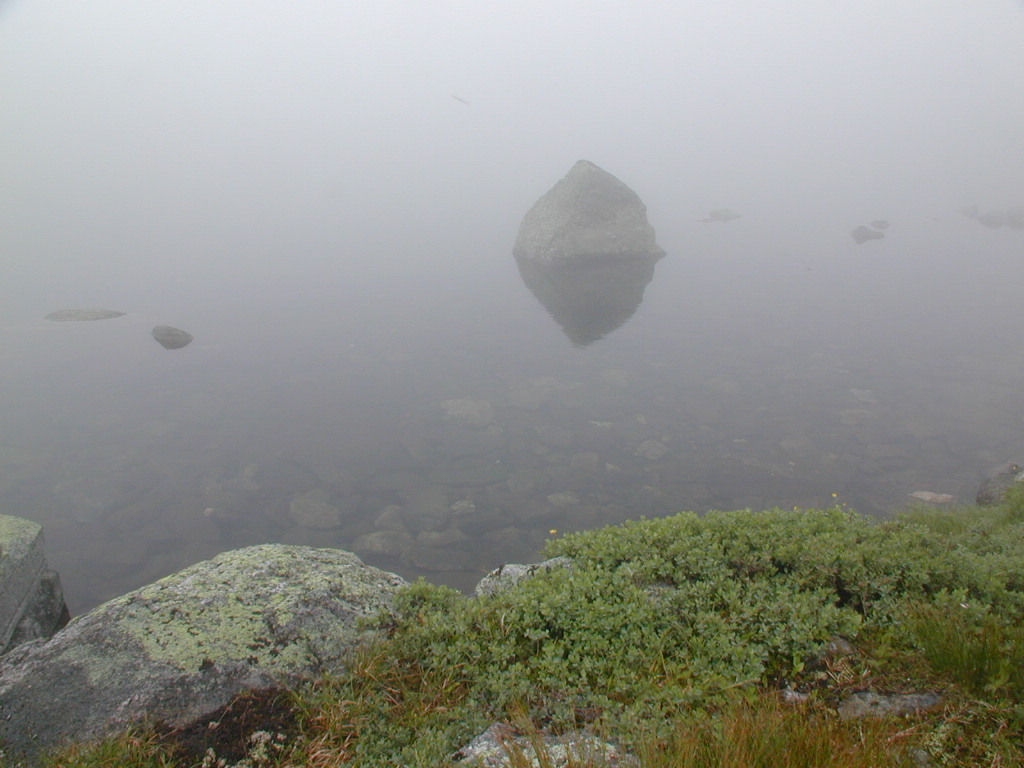
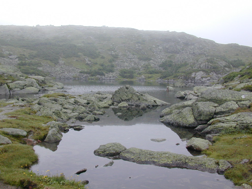
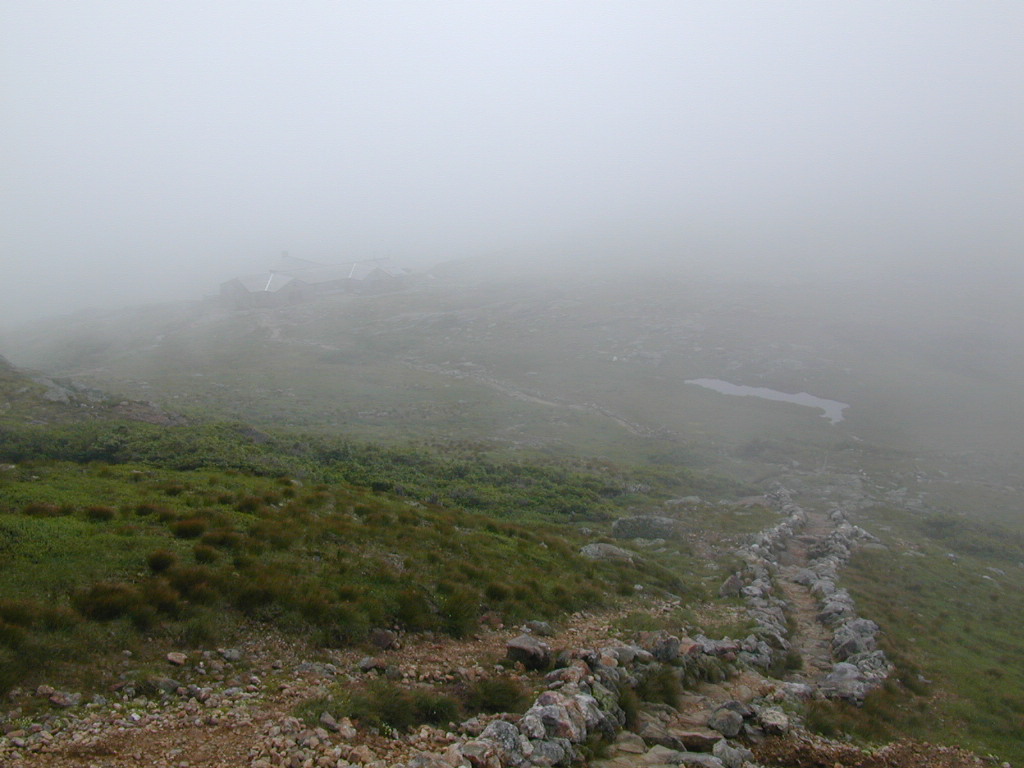
Once you get above the tree line you are only about ¼ mile from the Lakes of the Clouds AMC hut. The trail continues to closely follow the stream to the hut and you will cross it a couple more times before you reach the hut. The views from above the tree line on most days are magnificent so make sure to take time to stop and look behind you. Even on cloudy and overcast days you will be surprised at the views. If the top of the mountain is shrouded in clouds, as it was on the day I did this hike, the views can be quiet eerie.
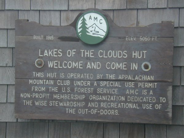
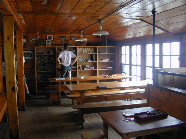
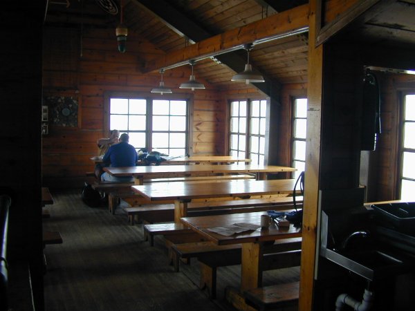
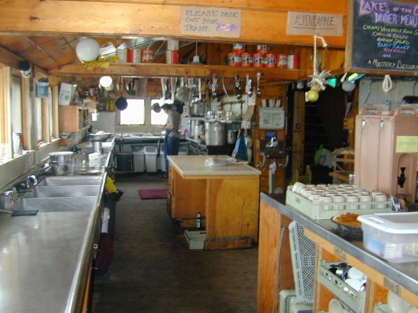
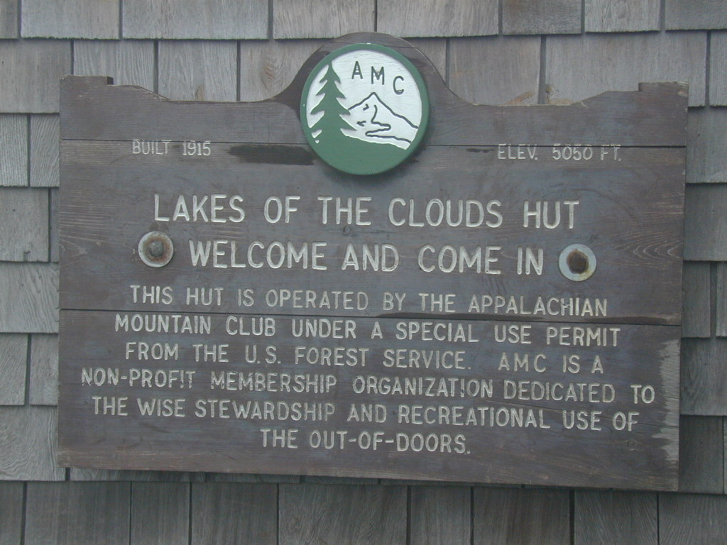
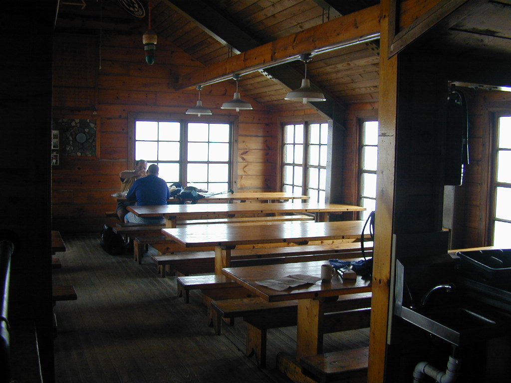
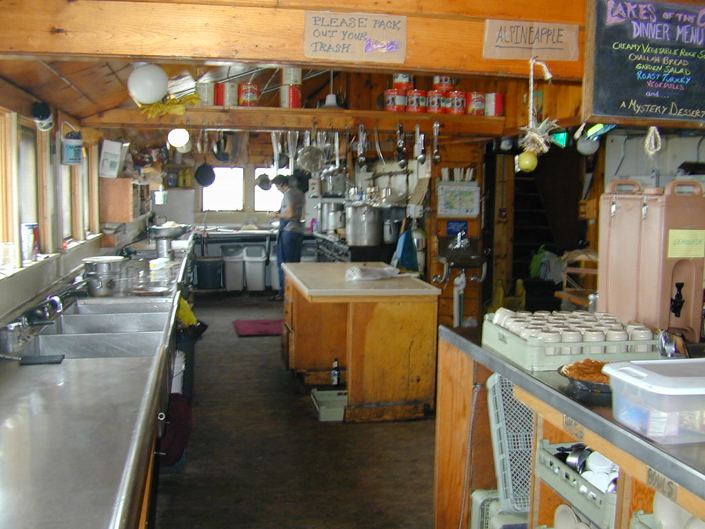
Make sure to take some time to stop in and visit the hut, it's a great place to rest and also to warm up for a while. I have always found the staff to be very friendly and there are almost always other hikers and/or backpackers to talk to. You can also food and snacks at the hut. They always have hot coffee, tea and hot chocolate and usually some kind of bakery item. They had pumpkin pie the day that I passed through and I could not resist having a piece with a hot cup of coffee.
The Lakes of the Clouds themselves are located a couple hundred feet east-southeast of the hut along the Crawford Path. I don't know where the name comes from because it looks more like a pond than a lake to me. They are very picturesque, however, in just about any weather condition.
| ||||||||||||
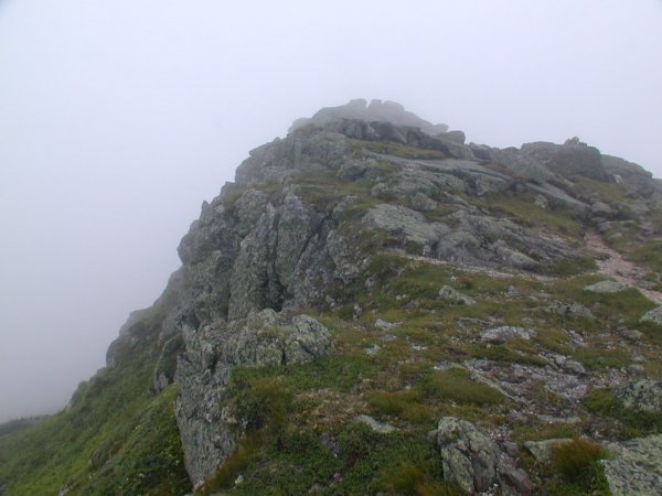
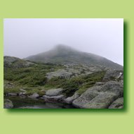
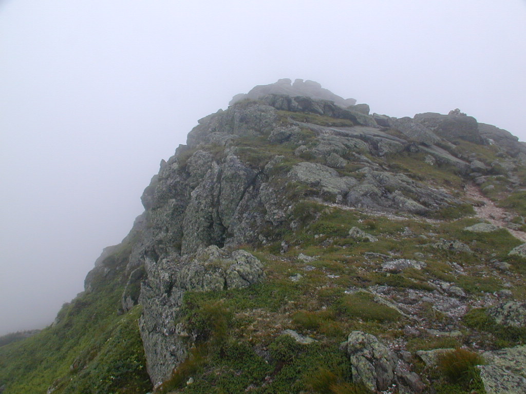
From the Lakes of the Clouds hut to the top of Mount Monroe is only a short ½-mile scramble along the Appalacian Trail. The trail starts on the south side of the hut and the branches off to the southwest as it climbs to the summit of Mount Monroe. There is a fair amount of rock hoping and scrambling near the top but the trail is faily well marked and easy to follow. There is no summit marker per se on the top of Mount Monroe and an unidentified metal pin is the only indicator that you have reached the summit.
|
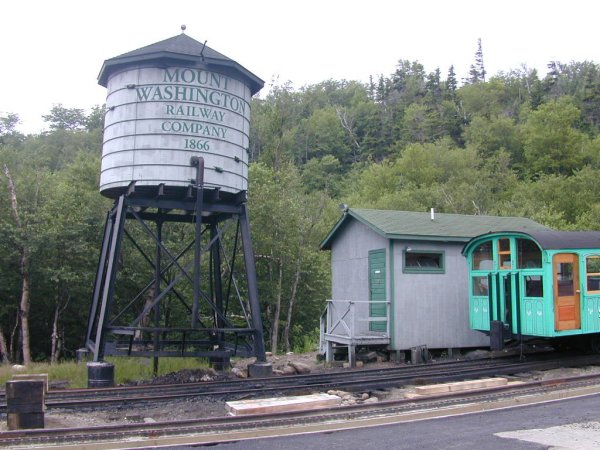
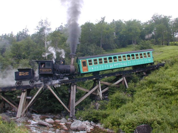
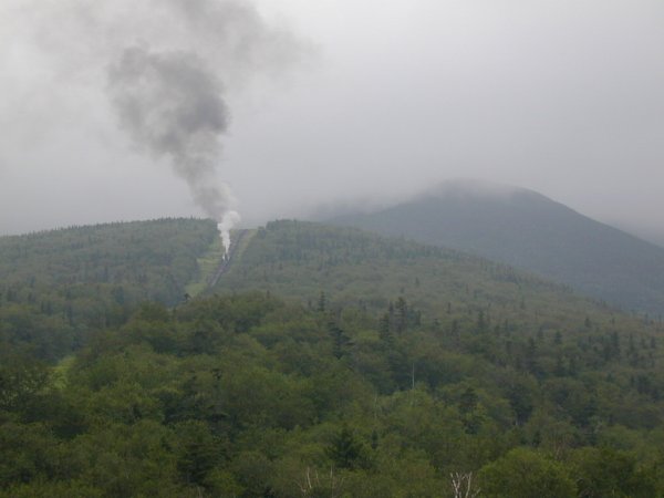
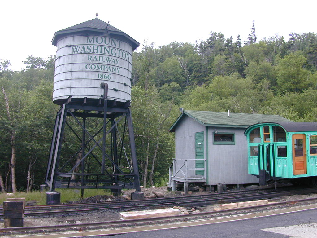
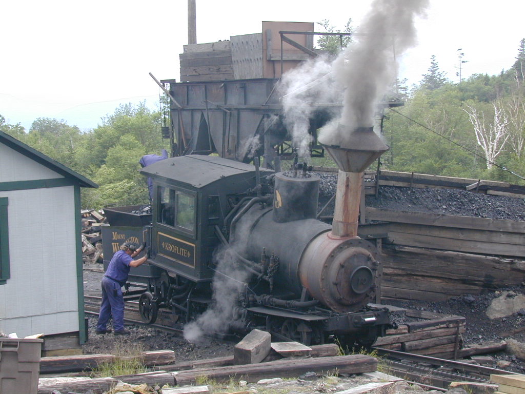
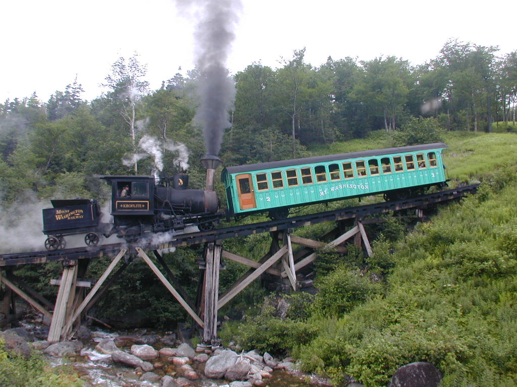
I went back down pretty much the same way I came up and I stopped hardly at all on the way. I started the hike around 8:30 and reached the Lakes of the Clouds around 10:45. The climb to the top of Mount Monroe took only about 20 minutes from the hut. I left the summit around 12:15 and arrived back at Marshfield Station around 2:40. I wandered around the station taking photos of the trains for about 45 minutes before following the road back to the Forest Service parking lot.
| ||||||
|
|
|---|
|
|---|


